Highway 58, Taft, CA
- Tim Mayhew

- 2 days ago
- 2 min read
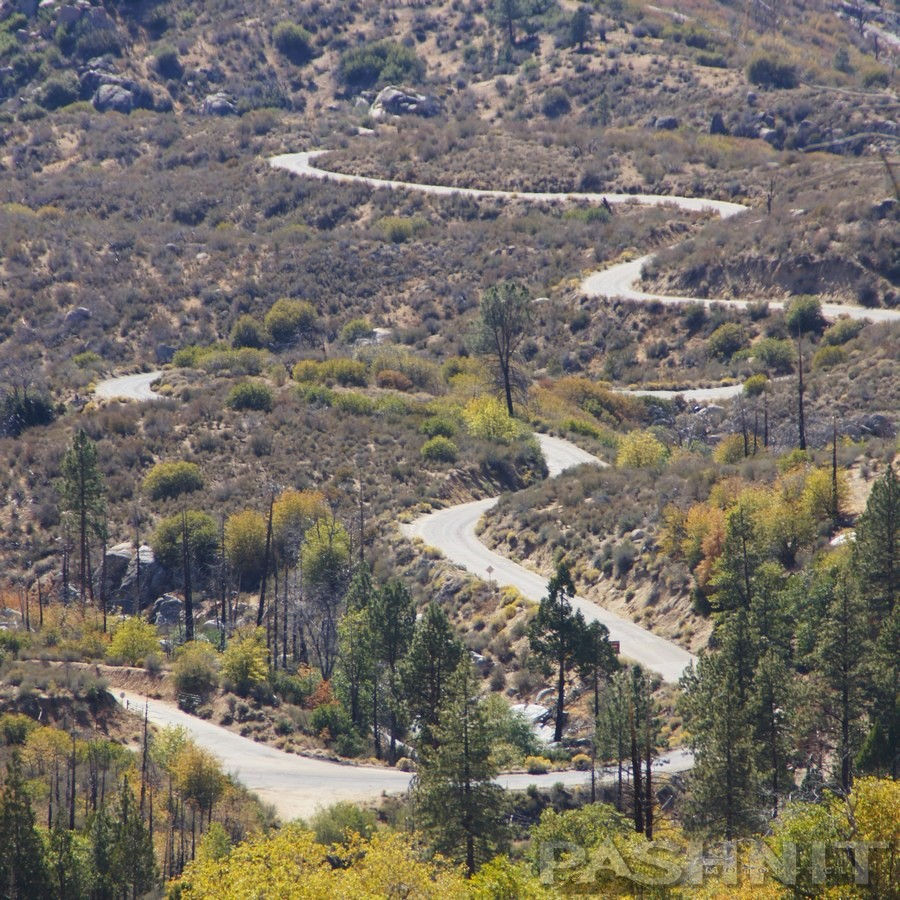
Highway 58 in the Central Coast Range is often mentioned with an air of reverence in motorcycle circles. Imagine a perfect cocktail of technical curves, two low ranges, and lonngg straights, all framed by sweeping views of the Central Valley. It’s that "middle of nowhere" feeling—the big sky country, the quality pavement, and 72 miles of pure motorcycle bliss—that creates giddy, childlike moments of biker wonderment.
The western 72-mile segment from Santa Margarita to Taft (no services in McKittrick) is a motorcyclist’s playground. Starting near Santa Margarita (just north of San Luis Obispo), the road plunges through the aptly named Calf Canyon into the rolling hills of the Coast Range, the sprawling Carrizo Plain, and past the 1960s ghost town of California Valley. The grid pattern streets are all still there, but no houses were ever built.
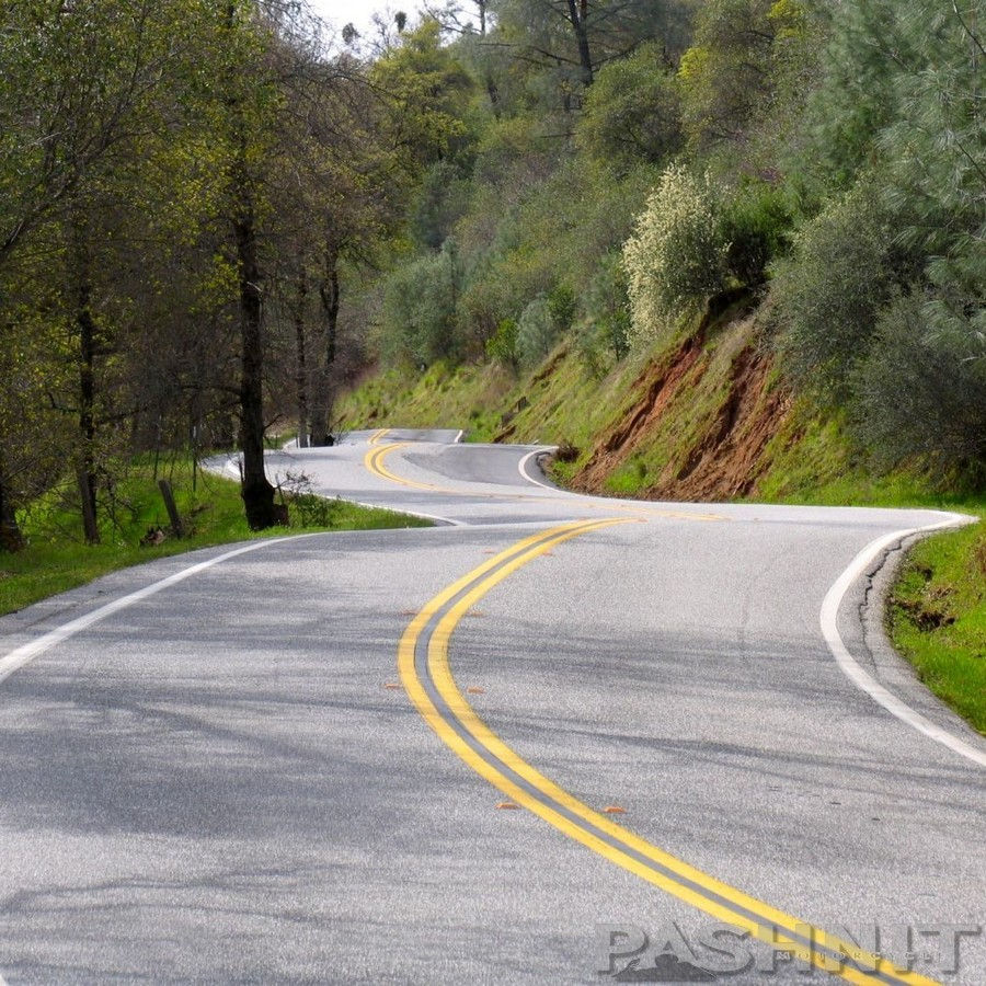
In springtime, the asphalt stretches across emerald green rolling grasslands, and during super-bloom years, transforms into a vibrant carpet of wildflowers.
Hwy 58 is wide-open, fast, and feels like a scene straight out of a classic American road movie, plus the Temblor Range twisties were repaved a few years ago.
Highway 58 passes by numerous gems: the out-and-back Pozo Loop, Hwy 229 (Rossi's Driveway) into Creston, Bitterwater Rd to Parkfield, and Soda Lake Rd across the Carrizo Plain. In the midsection, keep an eye out for those famous "whoops" that are known to launch a front wheel off the ground. Just something I heard. Wink, wink.
Nearing Highway 33 & Taft, the smell of oil hangs in the air, over 3 billion barrels of oil have been extracted from the oil fields around Taft since they were first discovered in 1894. The oil fields here span over 30 square miles. Altogether, Hwy 58 covers 241 miles all the way to Barstow, CA, but the western section is our favorite. If your bike only has a 100-mile range, plan accordingly.


Comments