


Sherman Pass, Kennedy Meadows, CA

Sherman Pass is the southernmost paved high mountain pass in the Sierra Nevada Range and perhaps the most remote in California. It’s wild, forgotten, and completely off-grid. The route begins with a sign that reads "Next Fuel 75 Miles"—a stern reminder to top off in Kernville before committing to the climb.
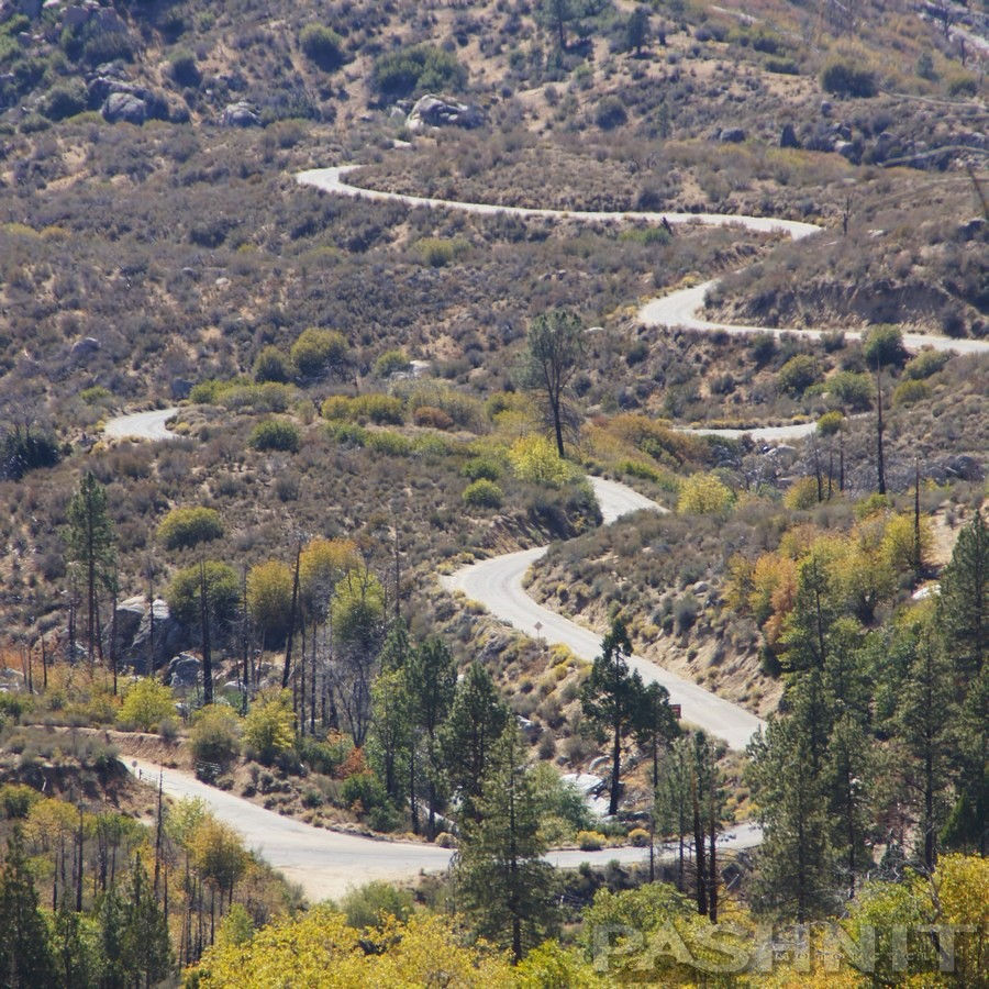
The ascent is a steady grind through tight hairpins and steep 10% grades. Once you crest the summit at 9,200 feet, the road meanders through high-altitude sagebrush and pristine alpine meadows. It remains one of the few places in the state where you can experience a truly "disconnected" alpine environment.
The halfway point is the Kennedy Meadows General Store. Located deep in the Sequoia National Forest at 6427 ft, Kennedy Meadows, pop. 58, is surrounded by rugged peaks and vast wilderness. It’s also a step back in time; the establishment runs entirely on a portable generator, solar, and propane. While you're there, hit the outdoor restaurant for a burger known as the Spicy Beaver. Trust me. Delicious.
The Pacific Crest Trail passes right by the store, which serves as a vital resupply point for hikers. For riders, there is an above-ground fuel tank—and if you’re on a bike with a 130-mile range, you won't care what the price per gallon is. The peace of mind pays for itself to calm your range anxiety.
The high-elevation Kern Plateau is a hotspot for dirt bike enthusiasts, offering multiple campgrounds for dual-sport staging. Numerous single-track trails spiral into the hills, and dual-sports can ride up a dirt path to the Bald Mountain Lookout (9,430 ft) for an incredible 360 degree panoramic view.
The ride concludes as Sherman Pass drops off the eastern escarpment via Nine Mile Canyon to reach Hwy 395. The road plunges 3,000 feet in the final 10 miles—a fast, thrilling descent with few guard rails & wide-open vistas. Once you hit the valley floor, head north toward Lone Pine into the Eastern Sierra, eastward towards Ridgecrest & Death Valley, or south to the ghost town of Randsburg. If you’re looping back, Hwy 178 along Lake Isabella will take you right back to your starting point in Kernville.


Comments