Twin Lakes Rd, Bridgeport, CA
- Tim Mayhew

- Jun 1
- 2 min read
Twin Lakes Rd is a ride I had never heard of. We were in Bridgeport, CA filling up with expensive gas & my ride buddy on the GSA asked if I had ever been to Twin Lakes. Never heard of it was the reply. He pointed to 20 feet away – That’s it right there. Not a clue. I know now to ride any paved road that pushes westward from 395. Your reward for the curiosity is always just up ahead.
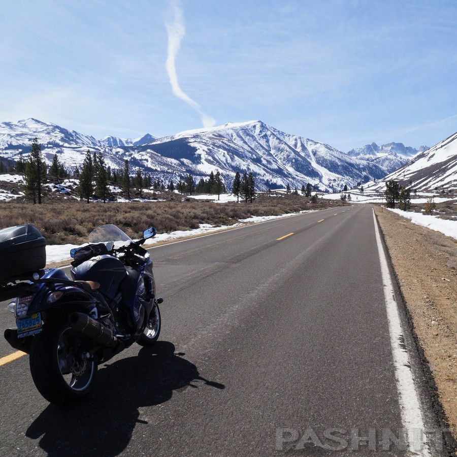
Twin Lakes Rd is an out-and-back spur that begins at the Shell station in Bridgeport, and heads straight to the edge of the Eastern Sierra in the distance. Stretching just 13 miles westward from Highway 395, this paved corridor evolves rapidly from the wide, open flats of the Bridgeport Valley into a towering granite canyon.
For motorcyclists, the ride offers an incredible visual progression. The road tracks along Robinson Creek, giving way to sweeping curves that chase the base of the massive Sawtooth Ridge. Looming directly ahead is the sheer, 4,000-foot vertical wall of Matterhorn Peak, creating an Alpine-style backdrop that rivals the Swiss Alps. The views upwards from this road are the very reason for the detour. Twin Lakes Rd tracks right along the edge of the two oval shaped lakes.
The pavement climbs smoothly to an elevation of roughly 7,000 feet, culminating at Lower and Upper Twin Lakes. These two massive glacier-carved pools of cobalt-blue water sit flanked by pine forests and avalanche chutes.
Serving as the ultimate dead-end turnaround point, the end of the road provides access to the historic Twin Lakes Resort and the Mono Village campground. The resort evolved as part of the classic Eastern Sierra fishing-camp tradition. It is a spectacular, short-distance pilgrimage that packs some of the most intense, concentrated mountain scenery in Mono County into a brief, unforgettable can't-miss detour.


Comments